In a world where spotting a lost pet or finding a hidden heat leak can feel like a game of hide-and-seek, thermal imaging drones are the superheroes we never knew we needed. These high-tech gadgets don’t just hover around like an awkward bird; they see the world in a whole new light—literally! With their ability to detect heat signatures, they’re changing the game in industries like search and rescue, building inspections, and even wildlife monitoring.
Overview of Thermal Imaging Drones
Thermal imaging drones revolutionize various sectors with their heat detection capabilities. These high-tech tools provide essential insights that enhance safety and efficiency.
What Are Thermal Imaging Drones?
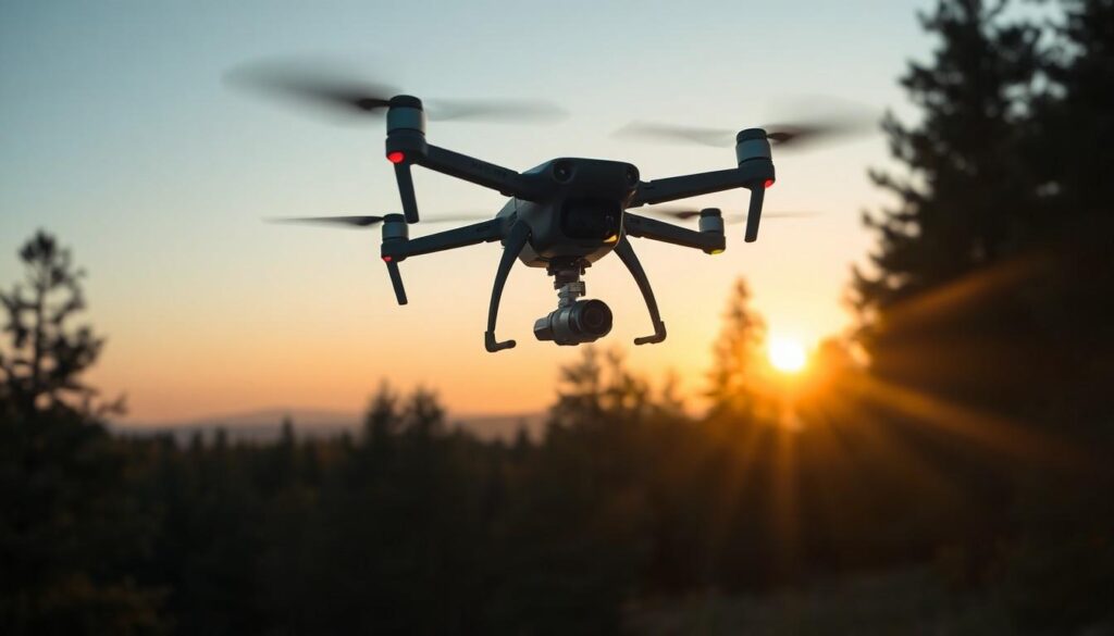
Thermal imaging drones are unmanned aerial vehicles equipped with infrared cameras. They capture thermal radiation emitted by objects, turning heat signatures into visible images. Users benefit from drones that are lightweight and easy to deploy, making them versatile for numerous applications. Professionals in search and rescue use these drones to locate missing persons in challenging environments. Additionally, building inspectors rely on them to detect energy leaks, significantly improving energy efficiency in structures.
How Do Thermal Imaging Drones Work?
Thermal imaging drones operate through advanced infrared technology. Sensors within the drones detect temperature variations and convert them into electronic signals. These signals create thermal images, clearly showcasing heat differences. Operators can view real-time data, allowing quick assessments of any situation. Analyzing these images helps identify issues such as heat loss in buildings or locating wildlife in dense forests. Users maximize effectiveness by leveraging high-resolution thermal cameras mounted on the drones.
Applications of Thermal Imaging Drones

Thermal imaging drones transform various industries by providing unique insights through heat detection. They support operations in search and rescue, agriculture, and building inspections.
Search and Rescue Operations
Search and rescue missions rely heavily on thermal imaging drones. These drones pinpoint lost individuals by detecting body heat, even in dense forests or during nighttime. They cover large areas quickly, significantly speeding up the search process. For instance, in mountainous areas, drones can identify hikers in distress within minutes, reducing the time and resources needed for traditional searches. Additionally, these drones enhance the safety of search teams by minimizing their exposure to hazardous conditions.
Agricultural Monitoring
Thermal imaging drones greatly enhance agricultural monitoring. Farmers utilize these devices to assess crop health, detecting inconsistencies in temperature that indicate stress. By pinpointing areas that require irrigation or additional nutrients, drones enable precise management, optimizing yields. For example, a drone can scan a 100-acre farm in a single flight, providing real-time data on soil moisture levels and plant hydration. This technology leads to more sustainable practices and efficient resource usage in agriculture.
Building Inspections
Building inspections benefit from the advanced capabilities of thermal imaging drones. Inspectors use these drones to uncover energy inefficiencies and heat leaks without scaffolding or ladders. Drones can identify insulation failures or areas of heat loss, prompting timely repairs. In commercial settings, a quick aerial survey saves time and costs associated with manual inspections. For example, a large commercial building could undergo a thorough inspection in less than an hour, ensuring regulatory compliance and improving energy efficiency.
Benefits of Using Thermal Imaging Drones
Thermal imaging drones provide significant advantages across various applications. Their capabilities enhance safety, streamline processes, and reduce costs.
Enhanced Efficiency
Thermal imaging drones quickly assess large areas, gathering data far more rapidly than traditional methods. Operators can scan buildings, fields, and landscapes in a fraction of the time, allowing for swift decision-making. Real-time data transmission enables immediate analysis of potential issues like heat leaks or plant health. Increased efficiency in search and rescue missions leads to faster recovery times, reducing the workload of emergency responders. When conducting inspections, these drones eliminate the need for scaffolding, minimizing delays. The overall workflow benefits from integrating thermal imaging technology into everyday operations.
Cost-Effectiveness
Deploying thermal imaging drones offers cost savings compared to traditional inspection methods. Traditional approaches often involve labor-intensive processes and substantial equipment costs. With drones, operational expenses decrease significantly while maintaining high accuracy. Resources allocated for manual inspections can be redirected towards other priorities when using drones. Additionally, early detection of energy inefficiencies leads to lower utility bills for businesses and homeowners. By identifying problems before they escalate, these drones prevent costly repairs and downtime. The positive return on investment reinforces the practicality of using thermal imaging drones in various industries.
Challenges and Limitations of Thermal Imaging Drones
Thermal imaging drones face several challenges that can impact their effectiveness and usability. Operators must understand these limitations to maximize their potential across various applications.
Weather Conditions
Weather conditions significantly affect the performance of thermal imaging drones. High winds can hamper stability, making precise imaging difficult. Rain, fog, and snow can obscure thermal signatures, reducing detection capabilities. Ideal flying conditions include clear skies and moderate temperatures. Cold weather not only affects battery life but also influences sensor accuracy. Drones struggle to differentiate objects in extreme temperature variations, which can lead to operational challenges.
Regulatory Issues
Regulatory issues present substantial barriers for thermal imaging drone usage. Operators must comply with Federal Aviation Administration regulations, which include restrictions on fly zones and altitude limits. Many regions require special permits for commercial use, adding complexity to operations. Privacy concerns also arise due to the nature of thermal imaging, prompting the need for additional guidelines. Ensuring adherence to local and state regulations can require extensive paperwork, decreasing operational efficiency. Understanding these regulatory frameworks is crucial for successful deployment and utilization of thermal imaging drones.
Thermal imaging drones are revolutionizing how industries approach critical tasks. Their ability to detect heat signatures offers unparalleled advantages in search and rescue operations agriculture and building inspections. As technology continues to evolve these drones will likely become even more integral to various applications enhancing safety and efficiency while reducing costs.
Despite the challenges posed by weather conditions and regulatory hurdles the benefits of thermal imaging drones far outweigh the limitations. By understanding and addressing these challenges operators can maximize the effectiveness of these innovative tools. The future of thermal imaging drones looks promising as they pave the way for smarter and more effective solutions across multiple sectors.


